Learning GIS Skills to Address Climate Change in Eastern Africa
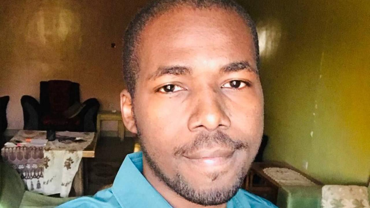
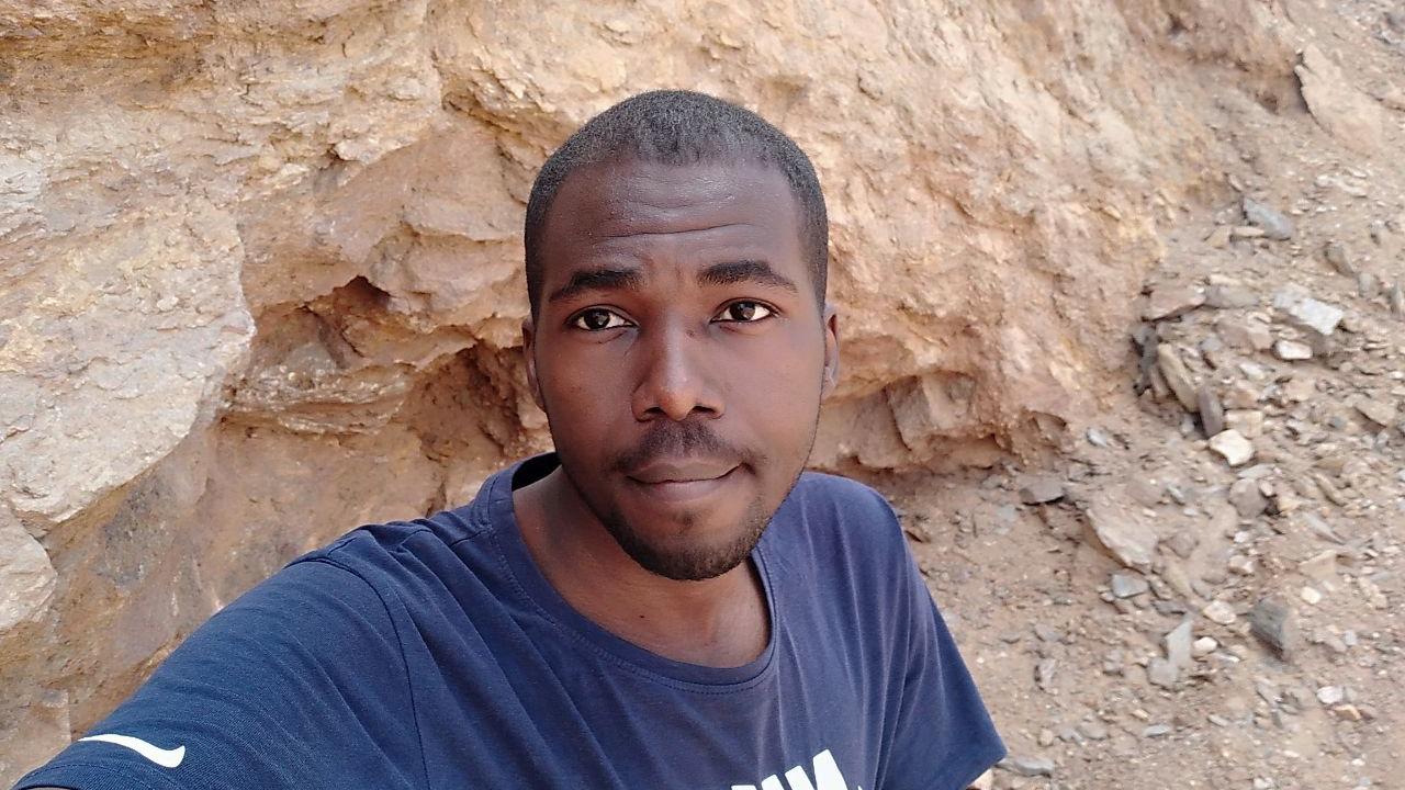
Mohammed Mawlod, a UC Davis Coursera student and GIS/RS specialist and research assistant at the Water Research Center at the University of Khartoum in Sudan, is keenly aware that Africa is experiencing climate change at a higher rate than the rest of the world. His region of Eastern Africa is particularly prone to flooding, which in turn leads to an increase in water-related diseases, such as cholera, typhoid and malaria—something he witnessed firsthand in 2020. But Mawlod is determined to be part of the solution, and he’s using the skills he gained from UC Davis’ Geographic Information Systems (GIS) Specialization on Coursera to help make a difference. “I am convinced that by using geospatial sciences, we can make Eastern Africa a more resilient region in the face of climate change,” he says.
How did you become interested in GIS and what motivated you to want to learn more?
In my first year of college, I accidentally went to a lecture about GIS and geospatial sciences and how they can be used to monitor floods, and it sparked my curiosity. I found it fascinating that geospatial sciences can be used to make a positive impact by helping solve some of our most pressing issues and provide an in-depth understanding of issues like conflicts and climate change. GIS enables us to perceive and comprehend our surroundings in new ways and can also help in shaping the way a person perceives things spatially by providing a variety of methods for analyzing and visualizing spatial data. Another thing that motivates me is the fact that this field is constantly evolving and that there is always something new to discover.
Why did you enroll in the GIS Specialization on Coursera?
I was one year from finishing my B.Sc. program when I made the decision to concentrate more on GIS and started looking for some online courses and found those offered by UC Davis on Coursera. I considered various courses, but in the end, I settled on the UC Davis GIS Specialization because it was the most comprehensive and up to date and covered a broad range of topics, from the fundamentals of GIS to more advanced concepts like spatial analysis, environmental analysis, modeling, automation and remote sensing. Additionally, the program placed a lot of focus on practical experience and the chance to work on real-world projects.
What were your goals going into the program?
I was keen to learn more about geospatial sciences and to gain a thorough understanding of them. I wanted to be able to work with spatial data, analyze it and then use spatial analytical techniques to help solve problems in the real world.

How has the GIS Specialization impacted your life and your GIS career?
I could go on for days about how much this specialization changed my life. It improved my GIS knowledge and abilities, enabling me to effectively analyze and comprehend spatial data. This helped open up a world of opportunities for me. It assisted me in finding various internships and helped me secure my current position as a research assistant at the Water Research Center at the University of Khartoum, allowing me to participate in important projects and research. I now have the ability to work on a variety of topics and projects, ranging from climate change to water and health applications.
The program has equipped me with the knowledge and abilities I need to excel in this industry. I now know how to gather data, analyze it, validate it and communicate results. The curriculum provided a comprehensive understanding of GIS and projects provided opportunities to address real-world challenges in various domains. The program has also improved my ability to think critically and solve problems. Additionally, I had the opportunity to network with other GIS professionals, which helped me to acquire new skills and sharpen the old ones. It gave me a solid foundation for my career in GIS and has been a valuable experience that has changed my life for the better.
What do you want to do with the GIS knowledge you’ve gained and how do you plan to apply it to the world around you?
UC Davis on Coursera
Whether you need to master a skill or you want a deeper dive into your subject, we offer several options to meet your needs. Take a single class or enroll in a full specialization of courses that progressively build your knowledge. Start learning today!
GIS can be used to make a huge difference in the world. That is why I hope to use my GIS knowledge to make a positive impact on society, particularly in the areas of environmental protection and climate change mitigation. During my time as a GIS analyst intern at the Federal Ministry of Health's Department of Surveillance and Information, we often discussed the rise of water-related diseases in the region, especially malaria. I even proposed conducting a spatial analysis to find potential mosquito breeding habitats to help combat malaria.
I am also interested in conducting research on drought forecasting. Eastern Africa has had several drought events in recent years, which is extremely worrying. It is very important to address these challenges. I believe that increasing awareness will make people in the region more able to deal with the impact of these problems. The development of early warning systems will also aid in the planning of adaptation plans and risk reduction strategies. I am convinced that by using geospatial sciences, we can make Eastern Africa a more resilient region in the face of climate change.
